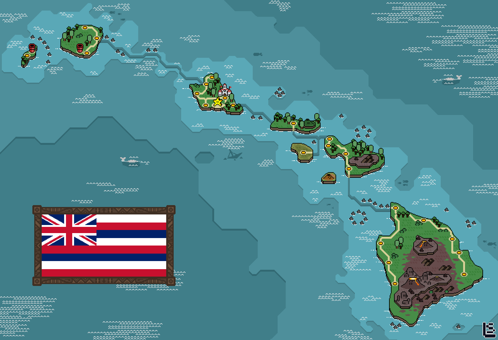
Recently, users on Reddit stumbled across postings of pixel art maps featuring the main Hawaiian islands. The map appears to be in the pixel art style reminiscent of early 90s computer graphics. The map is done in closely accurate scale, and we see some key features of Hawaiian geography highlighted in the artwork. The Big Island features the volcanic activity zones of Kilauea, Mauna Loa, and Hualālai. Maui also features a volcanic zone to depict Haleakalā. On O’ahu, we see a Mario style castle representing ‘Iolani Palace, and a star indicating the capital city Honolulu.

Lazare Viennot, known online as SirLazz, is a digital artist and game developer who created this pixel art cartography. Though he lives in Nantes, France he takes commissions to draw real places around the globe in the style of pixel art video games of the 90s, especially Super Mario Bros. His designs include several European countries and US states. The map of the main Hawaiian islands is his most recent work, available with and without the Hawaiian flag on the bottom left corner. A wide variety of products are available on RedBubble featuring his artwork. Here are some of our favorite products featuring his Hawaiian islands design:

Mini Art Print, 4×6 $7
Textured watercolor paper mounted on 4-ply art board, 3M velcro hanging dots included (four per print). Easy and budget friendly!

Printed on both sides, spun polyester poplin fabric. Great for Hawaii since we’re plastic bag free!

Ultra thin 3M Controltac decal sticker installs easily and bubble free.

Postcard $2.25*
Send some geeky notes to your friends near and far!
*Discount when you buy 3 or more
Click here to view more available merchandise with this design!
